


DAM DAM – TOSAMAIDAN
A Historiographic and Structural Analysis of a Kashmiri Landmark:
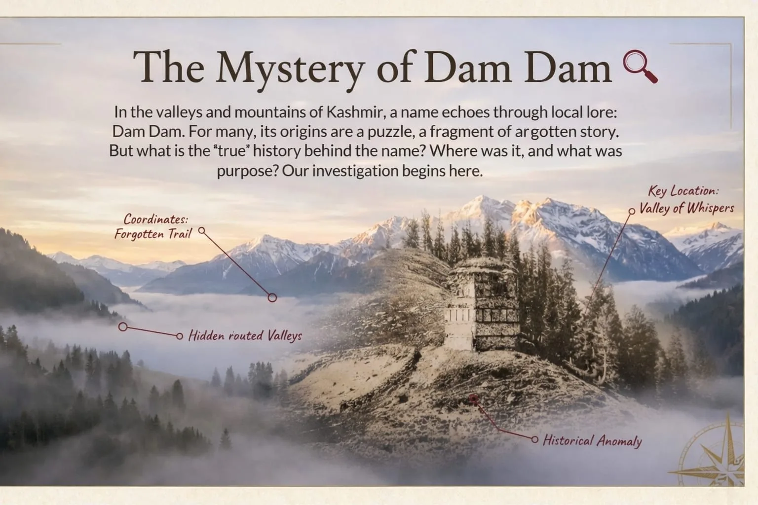
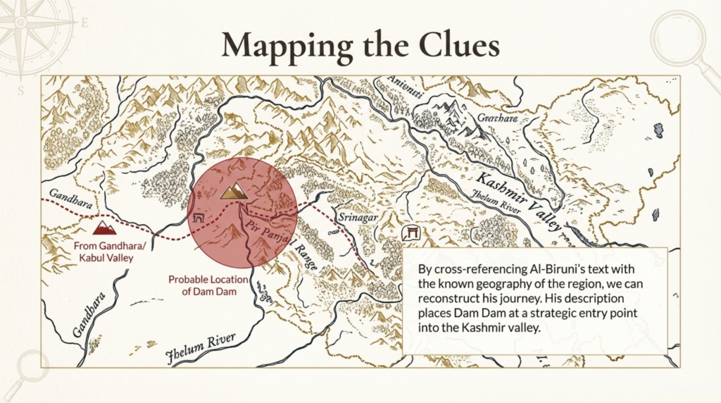
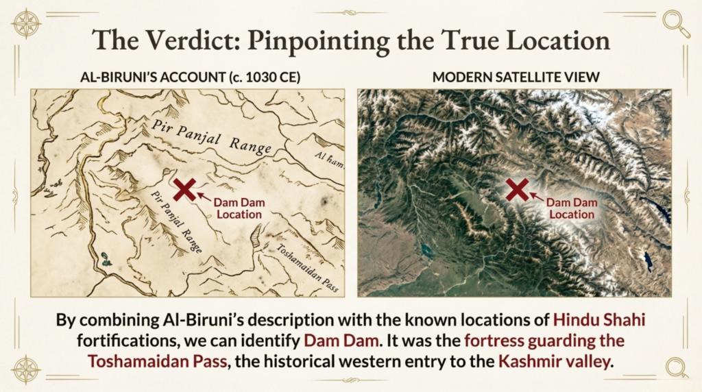
The Damdam site, situated at an elevation of approximately 12,000 feet above sea level in Drung village of Budgam district in the state of Jammu & Kashmir, occupies a crucial geographic and cultural threshold at the exit point of the renowned Tosamaidan meadow. Locally known as Larebal, Damdam has historically functioned as both a gateway and a sentinel to the Kashmir Valley, anchoring itself within the region’s spatial geopolitics and commercial movement networks.

Early scholarly references to this site appear in the travelogues of Al-Biruni and the Chinese Buddhist pilgrim Huein Tseing , both of whom documented its significance as a transit station along medieval routes. The term Damdam, literally meaning “a resting place,” reflects its historical role as a stopover for travelers, merchants, and officials entering the valley from the Poonch side.
Damdam as a Fiscal and Administrative Gateway
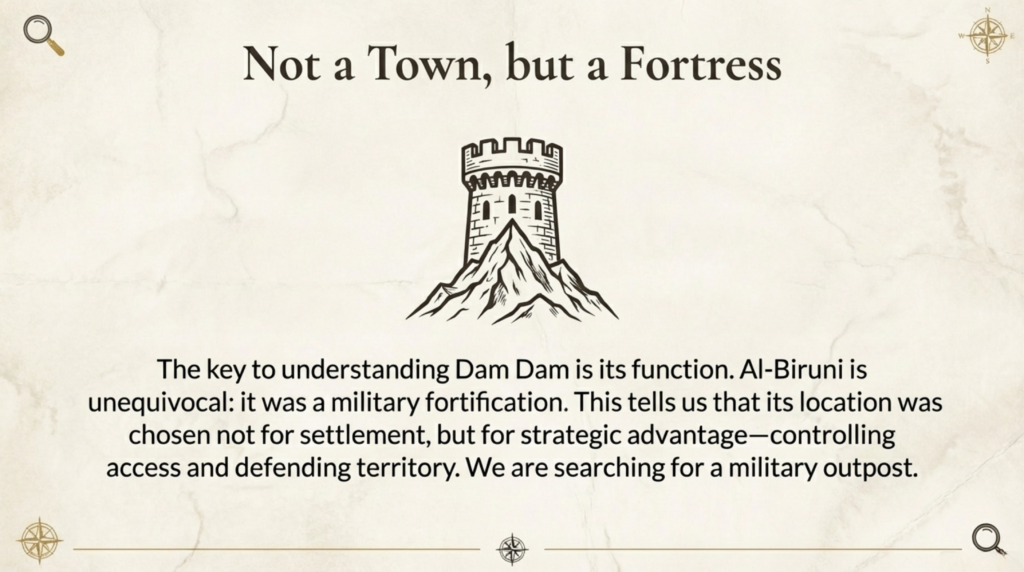
Historical memory preserved among local communities recounts the presence of a monumental seven-storeyed structure at the site—believed to have functioned as a customs post or transit checkpoint. Though now lost to landslides, a solitary historical photograph captured by an unidentified English traveler reportedly preserves its image.
The administrative function of Damdam is further supported linguistically and demographically. The foothill village of Drung derives from the Sanskrit term Dwara (gateway), once supervised by officials known as Dwarpatis or Drangish. During the Islamic period of Kashmiri history, these officers came to be known as Maliks, a title still reflected in the substantial Malik population of the village today.
This continuity underscores Damdam’s long-standing role in:
- Revenue collection and customs enforcement
- Regulation of trade entering the central valley
- Political supervision of strategic entry corridors
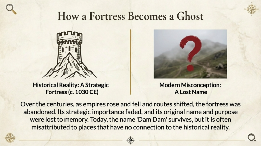
Geological Transformation and Structural Decline
The destruction of the Damdam complex resulted primarily from recurring landslides caused by a water stream descending from Tosamaidan meadow. Over centuries, these natural forces have gradually buried the structural remains beneath successive layers of sediment.
Even today, traces of masonry continue to emerge from the soil—offering compelling evidence of an extensive architectural complex now in archaeological suspension.
Trade Routes and the “Salt Road”
The route descending from Damdam remains locally known as Nun Wath — the Salt Road — referencing its historical use for transporting salt and other trade commodities into the valley. Immediately below lies Bangla Pathri, once the site of a forest rest house and later converted into an artillery training ground by the Indian Army.
Local oral traditions also speak of a vanished settlement named Taraspur, supported by discoveries of earthenware fragments in the area. While absent from formal archaeological records, the name Bangla Pathri itself suggests the former presence of well-built residential structures — possibly elite or administrative in character.
Given its strategic security and geographical advantage, systematic archaeological investigation of this zone could yield transformative insights into medieval Kashmiri settlement patterns.
A Strategic Corridor Through History
The Tosamaidan route was historically regarded as one of the safest summer passages between Kashmir and Punjab. Xuanzang himself is believed to have exited the valley through this corridor. According to Kashmiri historical chronicles, Raja Jayapida entered the valley via Tosamaidan in the 7th century.
Later, Shah Mir dynasty founder Sultan Shah Mir reportedly used this very route during his political exile. In modern history, the corridor again gained strategic prominence during the tribal incursions of 1947.
Damdam as an Archaeological Palimpsest
Far from being a marginal ruin, Damdam represents an archaeological palimpsest — a layered material record reflecting Kashmir’s evolving political, religious, and administrative landscapes. Its structural remains embody:
- Shifts in governance from Hindu polities to Islamic sultanates
- Transitions in fiscal administration and territorial defense
- The intersection of trade, military logistics, and cultural exchange
The site thus functions as a material witness to Kashmir’s medieval transformation — where power, commerce, and ideology converged along its mountain thresholds.
Conclusion: The Legacy of Damdam in Kashmiri Heritage
The largely unexplored history of Damdam underscores the urgency of integrating micro-historical sites into Kashmir’s broader historiographic narrative. Its synthesis of geological transformation, architectural remnants, administrative continuity, and oral tradition reveals a complex frontier institution central to the valley’s historical evolution.
Modern investigative initiatives — including independent explorations such as the Explorer Series by Mr. Koshur — have begun reintroducing Damdam into public historical consciousness. Yet systematic archaeological surveys remain essential for unlocking its full scholarly value.
Damdam stands not merely as a ruin, but as a silent archive — a gateway through which Kashmir’s political authority, economic life, and cultural transitions once flowed.


It was a wonderful information regarding this cultural site Dam Dam the last تھکہ پنڈ while entering the Tosamadian…while reading about this wonderful site i feel i am just exploring this spot…
More power to your pen…
Thanks Brother.
Thanks Brother❤️